No products in the cart.
NOTE: For delivery outside Nepal, please select any address. Then leave an order note and email address when confirming your order. We will contact you for details.
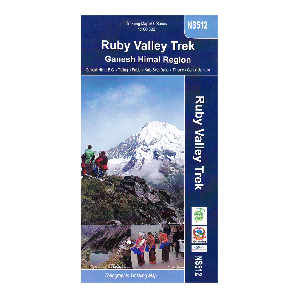
Series: Trekking Map 500 Series
Scale: 1:100,000
Item No: NS512
Features
- Topographic Trekking Map
- Covers – Ganesh Himal B.C., Tipling, Paldor, Kao-Seto Daha, Tinsure, Ganga Jamuna
RUBY VALLEY TREK – GANESH HIMAL REGION
Best time to visit: All season (views are clearest from fall to spring)
Environment: Mid to high-hills
Maximum elevation: Dobra Danda (Ganesh Himal Viewpoint), 4341 m (14280 ft)
Minimum elevation: Bhalche Gaon 1850m
Facilities: Camping, lodges and hotels, teahouses, home stay (agencies can arrange all details)
Duration : One to three weeks
Accessibility: Road connection including two major highways (Prithvi and Tribhuvan)
Difficulty level: Easy to moderate with advanced options, too; best explored with guide
Formalities: Nepal Visa on arrival ($25 USD for 15 days, $40 USD for 30 days, or $100 USD for 3 months); Langtang National Park Entry Fee: 3000 NRS; Trekking Information Management System (TIMS) card, $20 USD, will be checked if passing through Dhunche (rather than walking in from Betrawati or from Dhading Besi as well as from Trisuli Deurali)
Food and lodging costs: Minimal
Typical Nepali dish: Daal-bhat tarakari (rice, lentil soup and vegetables)
Typical drink: Chiya (sweet milk tea)
Highlights: Gurung, Ghale, Tamang, Brahmin, Chhetri, Dalit, Newar, Chepang ethnic groups, cultural interaction, village scenery and lifestyle, Nepali hospitality, Himalayan panoramas, sacred lakes including, Ganesh Kunda/lake, Parvati Kunda, Seto and Kalo lakes, waterfalls, hot springs, Hindu Temples Tripursundari Temples, Buddhist monasteries, cheese factory, Ganesh Himal viewpoints, herbal plants, crystal and ruby and zinc mining, dances and festivals, historical sites, unexplored territory, rare and exotic wildlife.
Publisher’s Note
This map has been published by Himalayan MapHouse (P) Ltd., the only registered map publishing company in Nepal & a member of the International Map Trade Association (IMTA). Himalayan MapHouse produces the widest range of trekking maps in Nepal, updated to reflect the latest information regarding route changes and facilities available.
As an integral part of our Quality Assurance Program, we verify all information regarding trekking routes and trails with professional trekking guides & climbers and update our maps for accuracy and reliability. All altitudes are measured with analog & digital altimeters and the trekking times represent average times. Credit is due to the numerous trekkers who wrote/called/faxed/emailed, their suggestions for improvement.
Note: Discount on bulk orders. Contact us for details.
| Weight | 0.05 kg |
|---|---|
| Brands |
Based on 0 reviews
Only logged in customers who have purchased this product may leave a review.
Vendor Information
- Store Name: Himalayan MapHouse
- Vendor: Himalayan MapHouse
- No ratings found yet!


There are no reviews yet.