No products in the cart.
NOTE: For delivery outside Nepal, please select any address. Then leave an order note and email address when confirming your order. We will contact you for details.
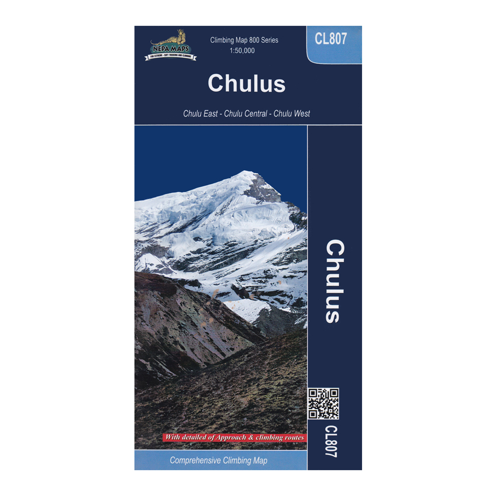
Series: Climbing Map 800 Series
Scale: 1:50,000
Item No: CL807
Features
- Comprehensive Climbing Map
- With detailed approaches and climbing routes
- Covers – Chulu East, Chulu Central and Chulu West
To the Climber
Chulu peaks form an integral part of the Manang Himal, which lay in the larger Damodar Himal range. among the several summits that are part of the Chulu Massif, Chulu East, Chulu Far East, and Chulu West are the ones that have continued to attract the most climbers. Chulu West was first climbed by a Japanese expedition team in 1952 and Chulu East by a German team in 1955. The Chulus offer many first expedition climb possibilities as there are several summits with several routes.
Publisher’s Note
This map has been published by Himalayan MapHouse (P) Ltd., the only registered map publishing company in Nepal & a member of the International Map Trade Association (IMTA). Himalayan MapHouse produces the widest range of trekking maps in Nepal, updated to reflect the latest information regarding route changes and facilities available.
As an integral part of our Quality Assurance Program, we verify all information regarding trekking routes and trails with professional trekking guides & climbers and update our maps for accuracy and reliability. All altitudes are measured with analog & digital altimeters and the trekking times represent average times. Credit is due to the numerous trekkers who wrote/called/faxed/emailed, their suggestions for improvement.
Note: Discount on bulk orders. Contact us for details.
| Weight | 0.1 kg |
|---|---|
| Brands |
Based on 0 reviews
Only logged in customers who have purchased this product may leave a review.
Vendor Information
- Store Name: Himalayan MapHouse
- Vendor: Himalayan MapHouse
- No ratings found yet!








There are no reviews yet.